The Tinkham Triple
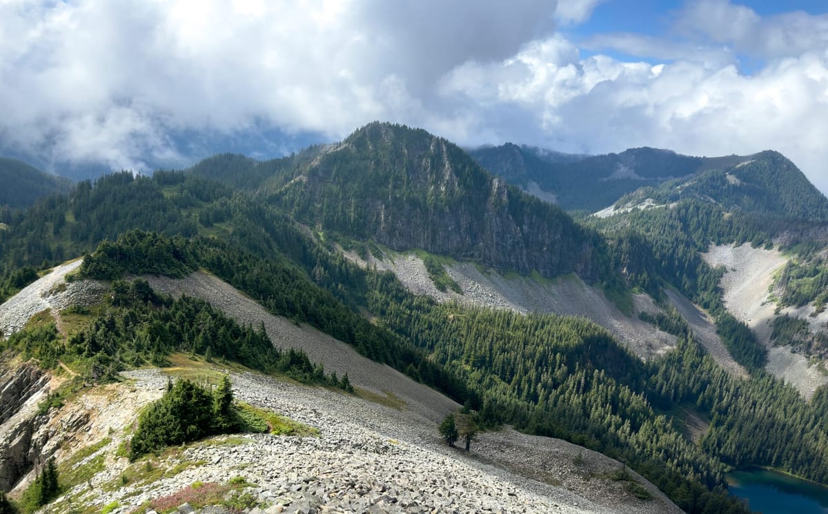
When I set out this summer to start putting together ridge runs and backcountry loops, I stumbled upon a handful of trip reports from the south side of Snoqualmie Pass. The reports linked together some of the peaks that hug the PCT, and quickly few names started to stand out: Tinkham, Silver, Abiel, Catherine. I'd heard about some of these before, but I'd never made it further south than ski touring at Summit.
Here are a few of my favorite inspirations
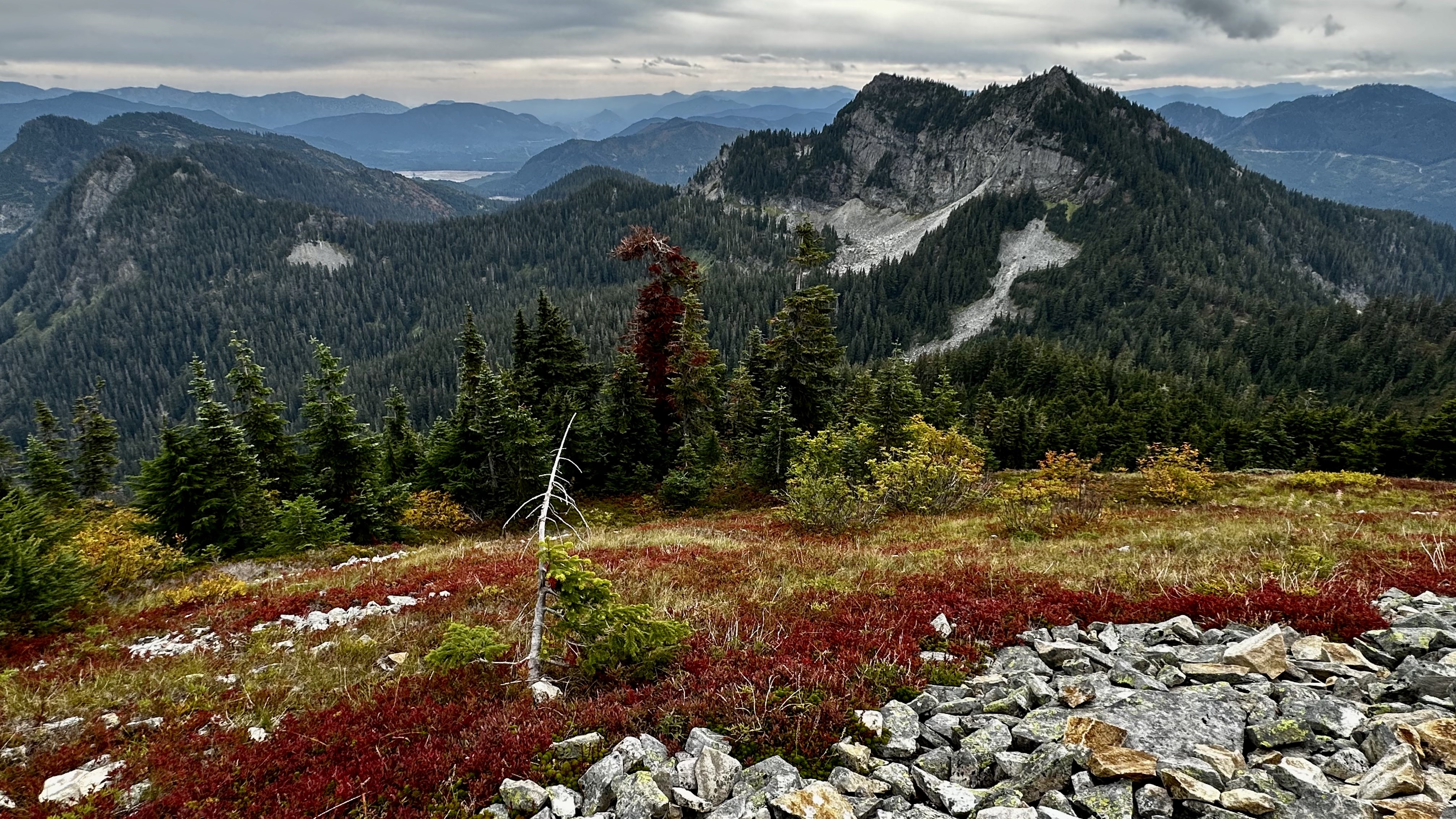
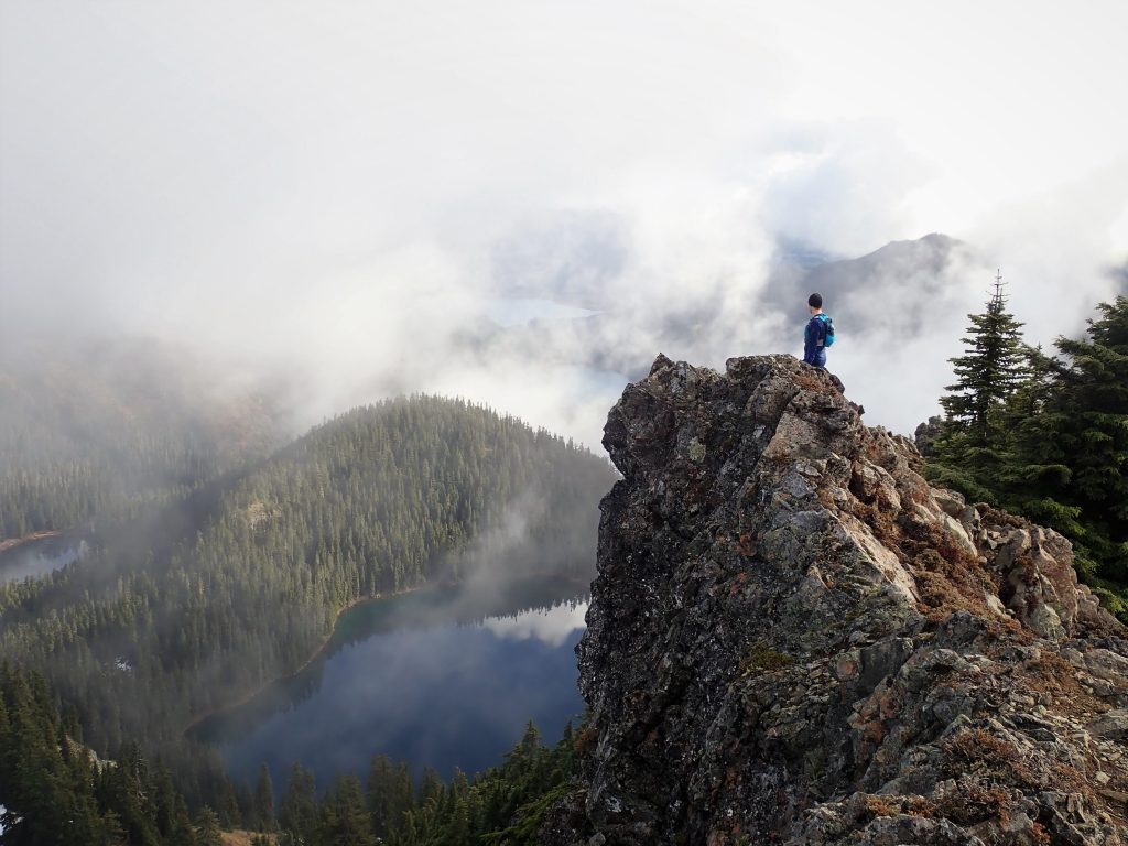
It was clear that there was something here though, a large set of well traveled trails, all criss-crossing one another. Ripe for exploration and a spin of my own.
I put together a few tracks at home, trying to scope out what was possible. One route starting from the Annette Lake trailhead and climbing up Silver or Abiel, one from the Mt. Catherine trailhead starting at Windy pass and heading down the PCT then looping back around Twin Lakes, another starting from Mirror Lake and winding north across the peaks and back on the PCT. My map was a mess.

After all of this research a Sunday rolled around with good weather so I headed out to the pass. I had some obligations in the evening so I chose the shortest loop I had concocted: starting from Mirror Lake and heading towards Tinkham. A theoretical 9 mile loop over three peaks, which barring any major obstacles should have me home by noon.
I arrived early to a completely empty trailhead after bouncing around on forest road 5480 for a half an hour. The air was delightfully crisp and a thin shimmer of light and blue sky were already breaking through the trees as I hiked the last stretch of washed out road to the Mirror Lake Trailhead. My spirits were exceedingly high.
The trail started easily; with soft, loamy, and runnable dirt trails past Cottonwood Lake and Mirror Lake, where I joined up with the PCT running south. There were a few through-hikers already starting their day, hiking casually or breaking down camp around the lake. I stopped for a minute to talk to a pair who were asking where I was coming from (they initially thought I had already run from the pass to this point). I was only on the PCT for a moment though, quickly breaking off onto the steep climbers trail that forked off vaguely at the south end of the lake and headed straight up the forest towards the south ridge of Tinkham Peak.
I really mean vaguely here, it was hardly a trail at all, just a lightly cleared path through the trees. I lost the trail for bits at a time, at one point ending up 30 feet or so below it, having to bushwack through the wet brush to regain the path. After a half mile under tree cover I broke out onto the ridgeline and could see the clouds parting over the valley.
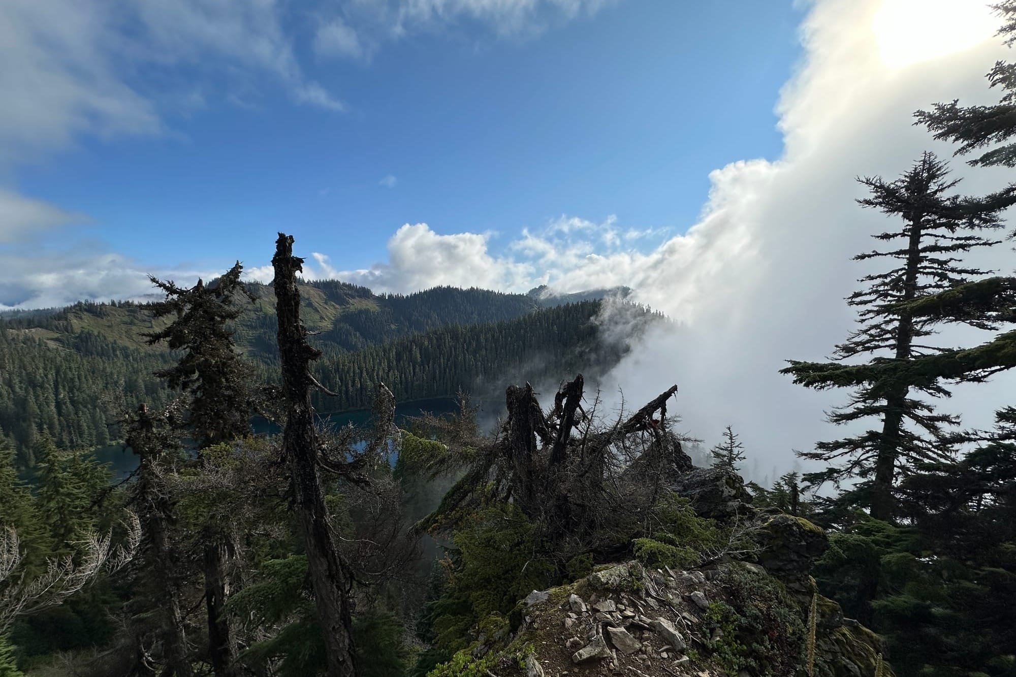
Above me, the path was clear towards the rocky summit, following a thin packed line along the ridge around the steepest sections of rock. I picked up the pace a bit after having slogged the steep forest uphill, excited to be on more open terrain.
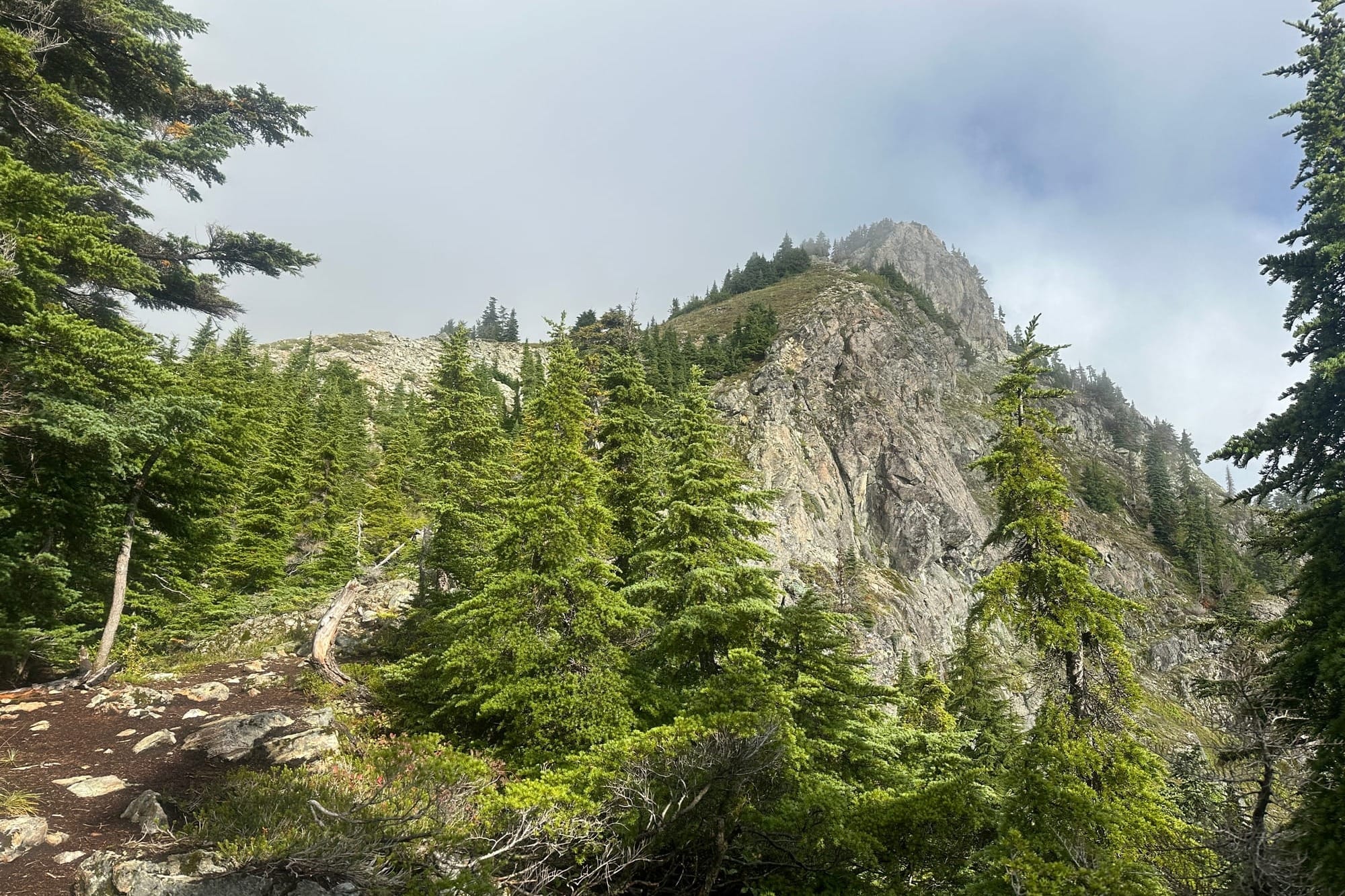
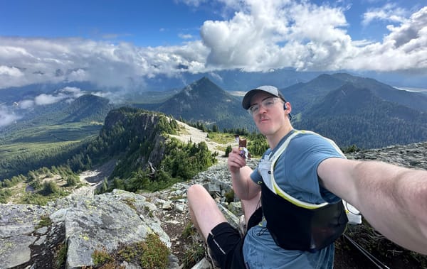
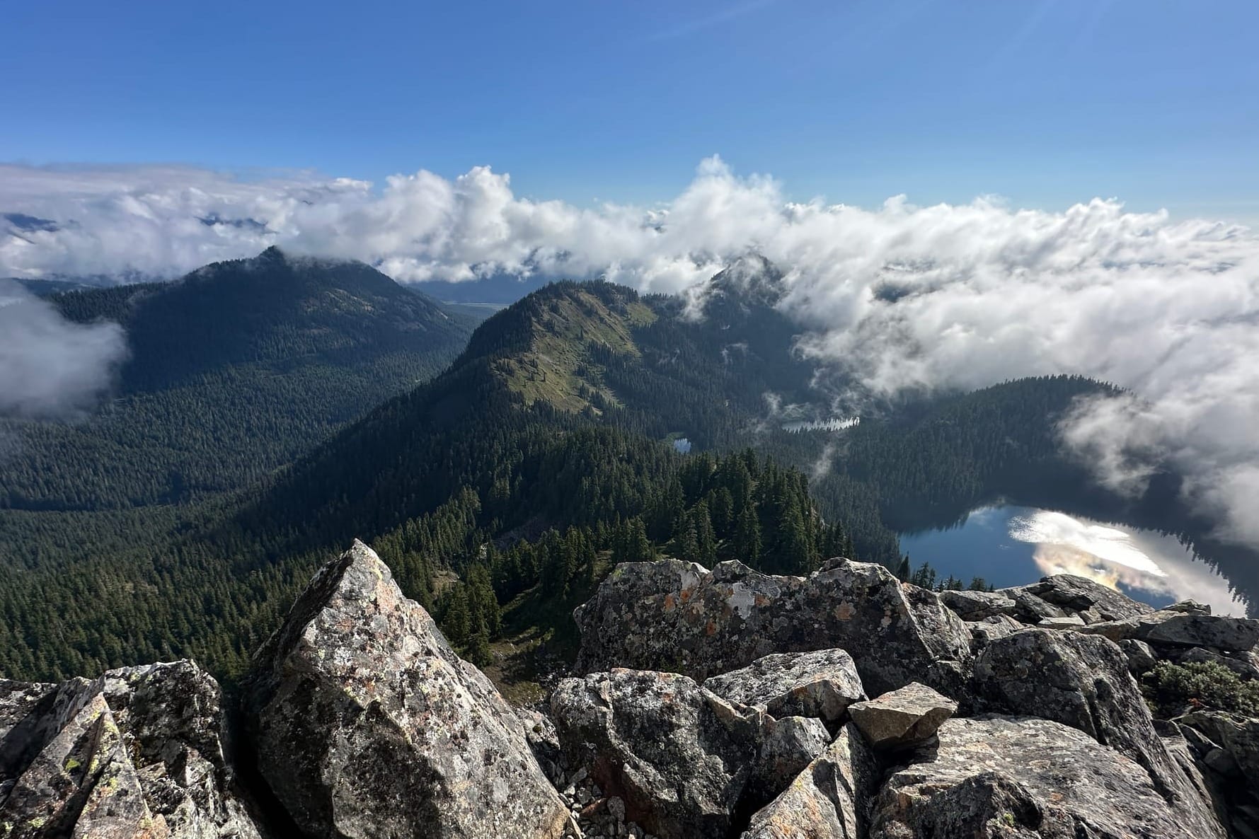
The first of the two peaklets that make up Tinkham was a short hop from there, a thin rocky outcropping steeply dropping toward the lake below it. I stood for a while taking in the view. The clouds had parted perfectly to expose the rippling waves of forested ridges running east to west out in front of me. After a moment I realized the second peaklet to my left stood slightly higher than the spot where I was so I walked the narrow band of stones and dirt made up the tiny saddle between them and took my break there.
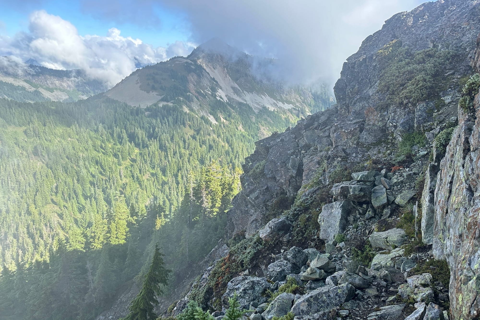
After a quick snack, I dropped off the peak to the north, descending the scree filled slope back into the forest. It wasn't so sketchy that I needed to use my hands or even my poles, but the rock here was loose and I kicked down a soccer ball sized block, making me question the decision not to bring a helmet. Luckily it only lasted for 50 feet or so and I was back on solid ground.
The next section was hardly a trail at all, just a steep descent through sparse forest that required ducking under low tree branches and sliding down wet soil. It eventually mellowed as I got onto the large saddle shared between Tinkham, Abiel, and Silver. I jogged along the trail, winding through the patchwork of forest and meadow, overgrown blueberry shrubs and low bushes soaking my shoes with heavy dew. I passed a few hikers coming up from the PCT towards Silver Peak before ducking west at the fork leading up to Abiel. After pushing through a short bit of forest, it was a short walk over loose talus and some minor 2nd class to reach the peak, which gave great views of Silver rising out of the low clouds.
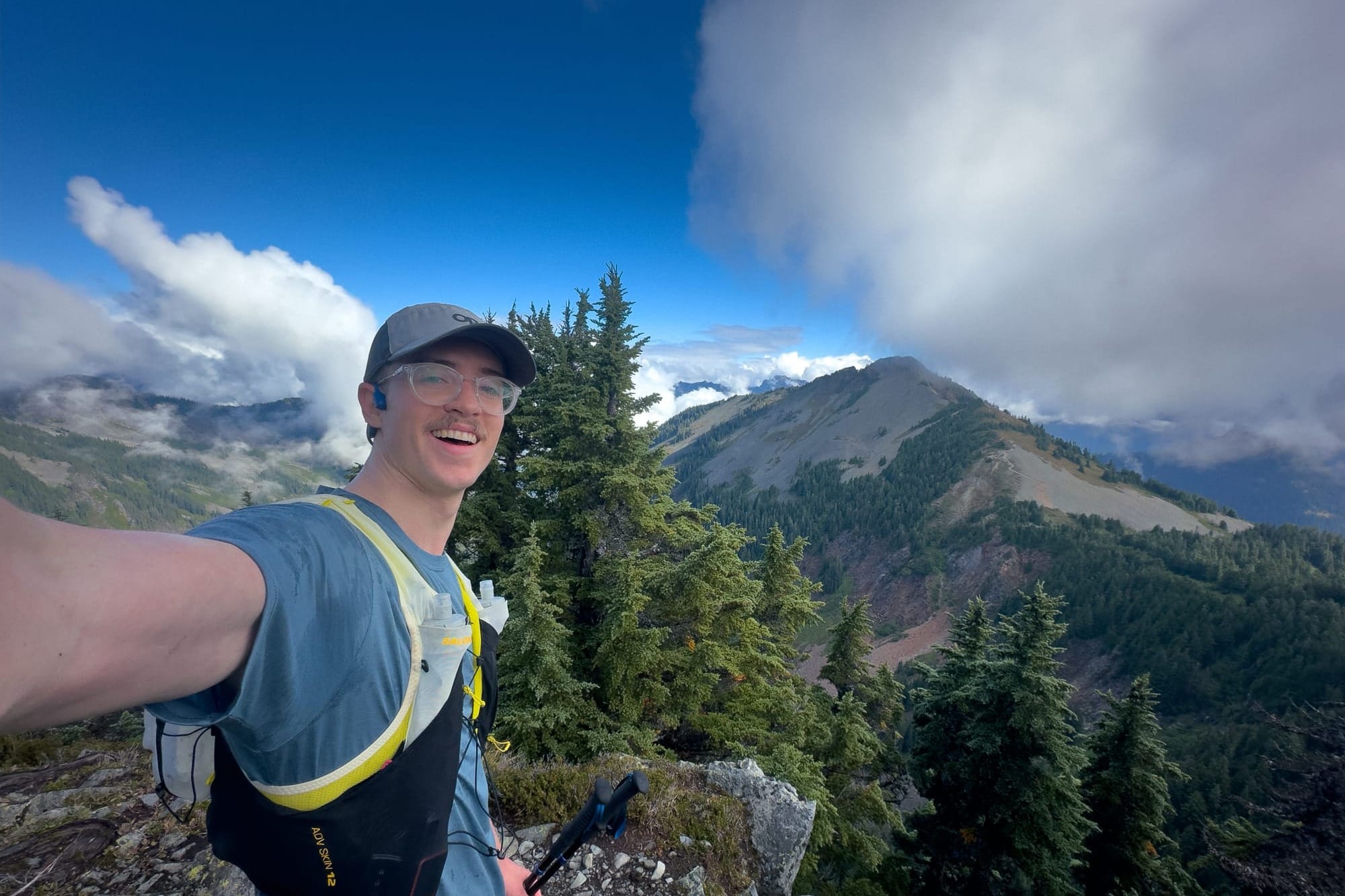
I was feeling great at this point, despite being extremely wet from all of the dewy foliage. Two peaks down and I could see the well-traveled trail up Silver already dotted with hikers. I signed the summit register hidden in a rusted out ammo container, already packed full of names, and headed back down the way I came.
The hike to Silver was well-worn and busy, unlike Abiel and Tinkham which had been completely empty. The path carved along the ridge, cresting over a small false summit and pushing through long sections of talus. The piles of grey and orange rocks jumbled together give the mountain its name, "Silver", it's bare head stark against the other tree covered peaks that surround it. The trail through it all was surprisingly well crafted despite the traditionally difficult terrain, talus and scree pushed together into stable wells of rock, a testament to the trail workers in this area.
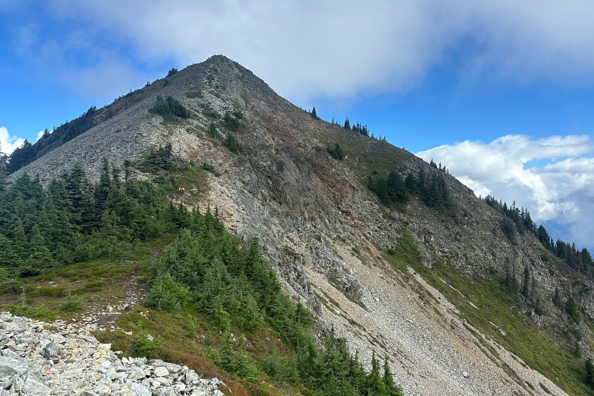
I passed casual day hikers, families full of kids, and other trail runners; the peak was busy with everyone out enjoying a break in the clouds. At the top I ate a Snickers happily while scoping out the next section below the peak which had been one of the few question marks on this outing. The northeast ridge off of Silver would bring me back down onto the PCT without doubling back, but from my seat on the peak it looked sharper and rockier than I had anticipated for. I was eager to try it out, but after seeing no sign of previous attempts, and not wanting to burn the time required to double-back if it didn't work, I chose to instead return the way I came and drop down to the PCT via a connecting trail just under Abiel.
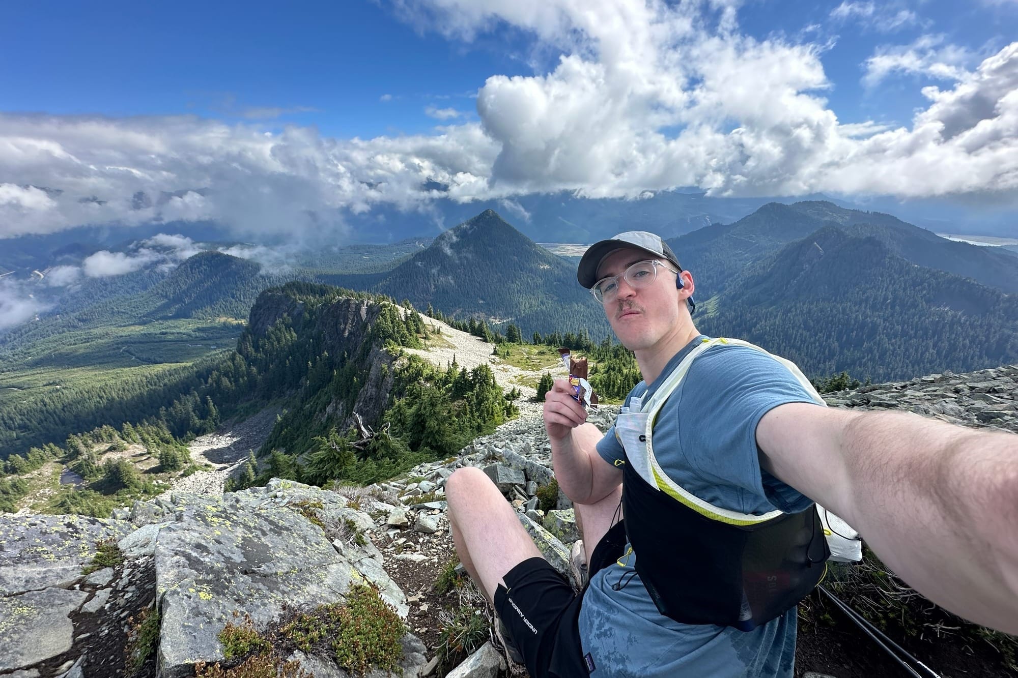
I was rather bummed to have sacrificed the aesthetics of the route, but this had been my first real attempt at something "unknown" alone. I tried not to beat myself up too hard for bailing on a small piece of it, the route back was enjoyable anyways, almost completely runnable. I took comfort in the movement, knowing the other direction in the best case would have involved scree fields and bushwhacking.
There were plenty of people out now on the trails below Silver, making their way up or just spending time around Mirror Lake, and by the time I made it back to the trailhead there were what seemed like hundreds of cars lining the forest road. The sun was shining high now, it was noon and it felt warm and lively. It had turned into a gorgeous summer day and I was sweating accordingly.
The loop was complete: 9 miles and 4,000 feet of elevation gain in a little over 4 hours. It wasn't perfect but it was enlightening. Discovering how much new terrain I could cover in such a short amount of time. I'll be back again to this sector, maybe there is a Tinkham Quad to be had by attaching Humpback or Mt. Catherine, and I need to find out if the northeast ridge is scrambleable for my own sanity.
Overall I would highly recommend this linkup as an extension of the more popular hikes in the area. Get some solitude, get some vert, and let me know how it goes!
